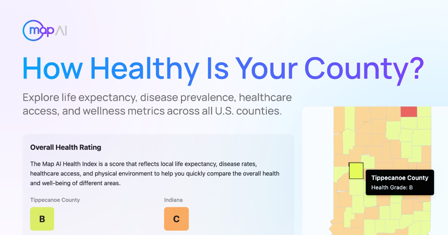
Map AI today announced the launch of dedicated demographic and socioeconomic data pages for all U.S. counties, giving businesses, analysts, site selectors, and community planners a clear, map-based preview of who lives, works, and moves through any region in the country – completely free of charge.
The goal is to make high-resolution location intelligence accessible to everyone, not just enterprises with six‑figure data budgets. With Map AI, small businesses, nonprofits, and local governments can now make data‑driven decisions with the same level of detail as large corporations.
An Entry Point, Not a Replacement
These county data pages are not meant to replace full custom analysis. Instead, they serve as a powerful entry point: to show a neighborhood-level demographic and socioeconomic picture while demonstrating the range of parameters now available with high accuracy and granularity – down to a 1‑mile radius around any point in the U.S.
Key Data Points Available for Any County (with breakdowns by age, income, education, housing, and more):
- Population density & demographic composition (age, ethnicity, and more)
- Income distribution & inequality rate
- Educational attainment (high school, bachelor’s degree, etc.)
- Employment status & occupation types
- Housing tenure (owner vs. renter) & home values
- Household size & family structure
- Accurate, verified data with 1‑mile resolution nationwide– not rough, over‑averaged zip‑code rollups
Example county page:
https://interactive-map-ai.com/explore/us/VA/loudoun-county/points-of-interest
Why This Matters for Site Selection & Community Analysis
When comparing counties or evaluating a specific location – for example, a new retail store, a community health clinic, or a multifamily development – users now have trustworthy demographic and socioeconomic data upfront, for free. For precise 1‑mile radius insights, immediate and affordable access is available via the full Map AI platform.
Traditional census geographies (counties, tracts, block groups) are often too broad or misaligned with real-world trade areas. Map AI closes that gap with more precise, actionable analytics – letting users draw a 1‑mile circle around any address and instantly receive customized reports.
Real-World Validation
Map AI’s data has been tested against traditional census aggregations to demonstrate real-world utility. In one documented case, a seemingly similar county showed a +40% difference in median income within a 1‑mile radius – completely changing site feasibility.
Platform Capabilities
Users can:
- Zoom into any county or point of interest
- View data on interactive map cells with 1‑mile precision
- Ask AI questions about any location in plain English
- Compare multiple locations side by side
- Download a full analysis as a PDF
Who Should Explore Map AI
- Site selection professionals
- Real estate developers
- Retail strategists
- Economic development organizations
- Healthcare access planners
- Community investment teams
Explore Nationwide Demographic & Socioeconomic Data:
https://interactive-map-ai.com